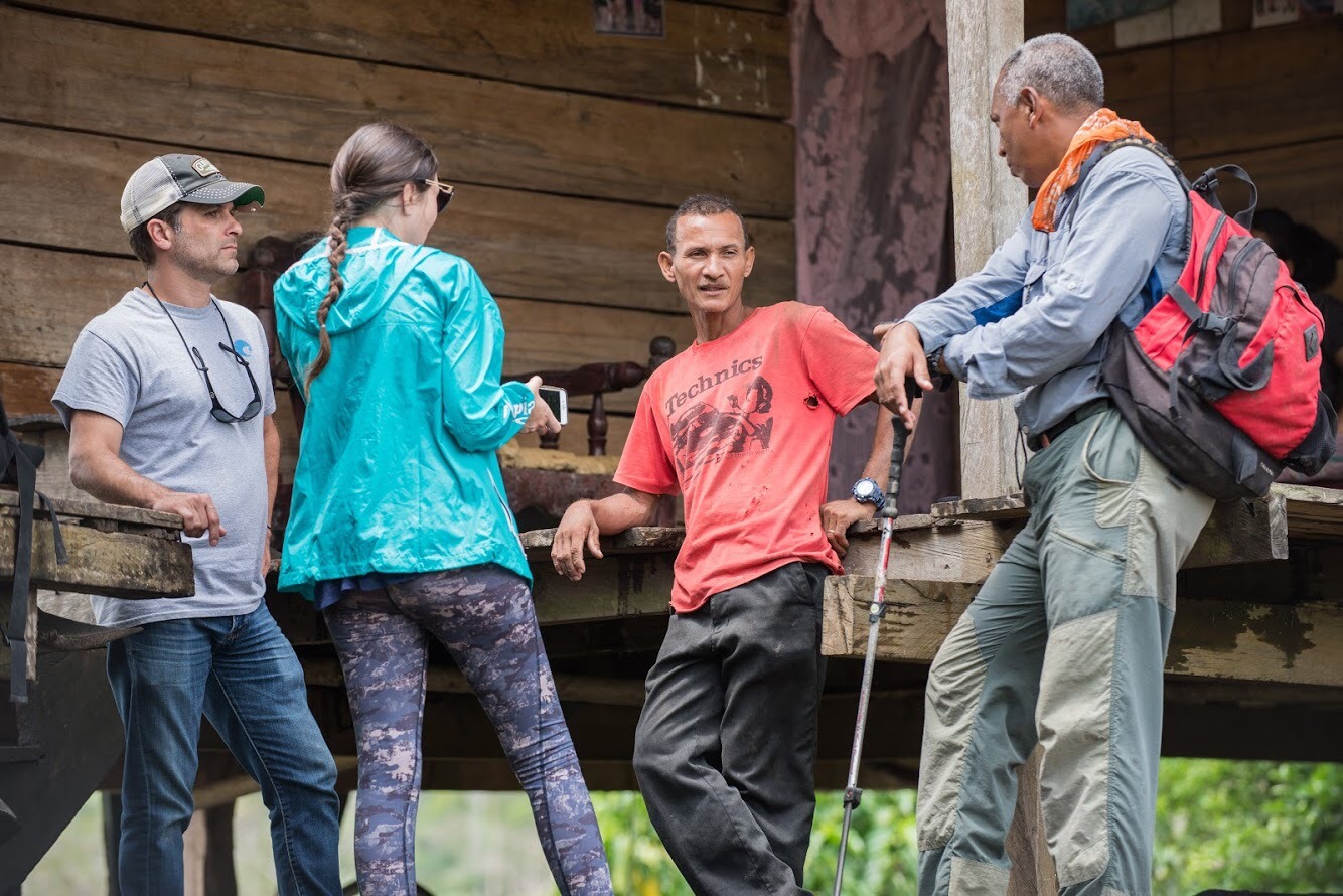
Last year I won a scholarship to take a rural tourism course in Israel. Upon returning from my course, I receive a call from the embassy coordinator asking me to contact Segundo Sugasti. He told me that Segundo also received a scholarship from MASHAV and wished to develop tourism in La Palma, Darien. I must admit that I had never been to Darien, but it had always been on my list of places to visit. This year I have already gone twice: after I went to visit the agro-tourist farm “El Roblecito” in Meteti.
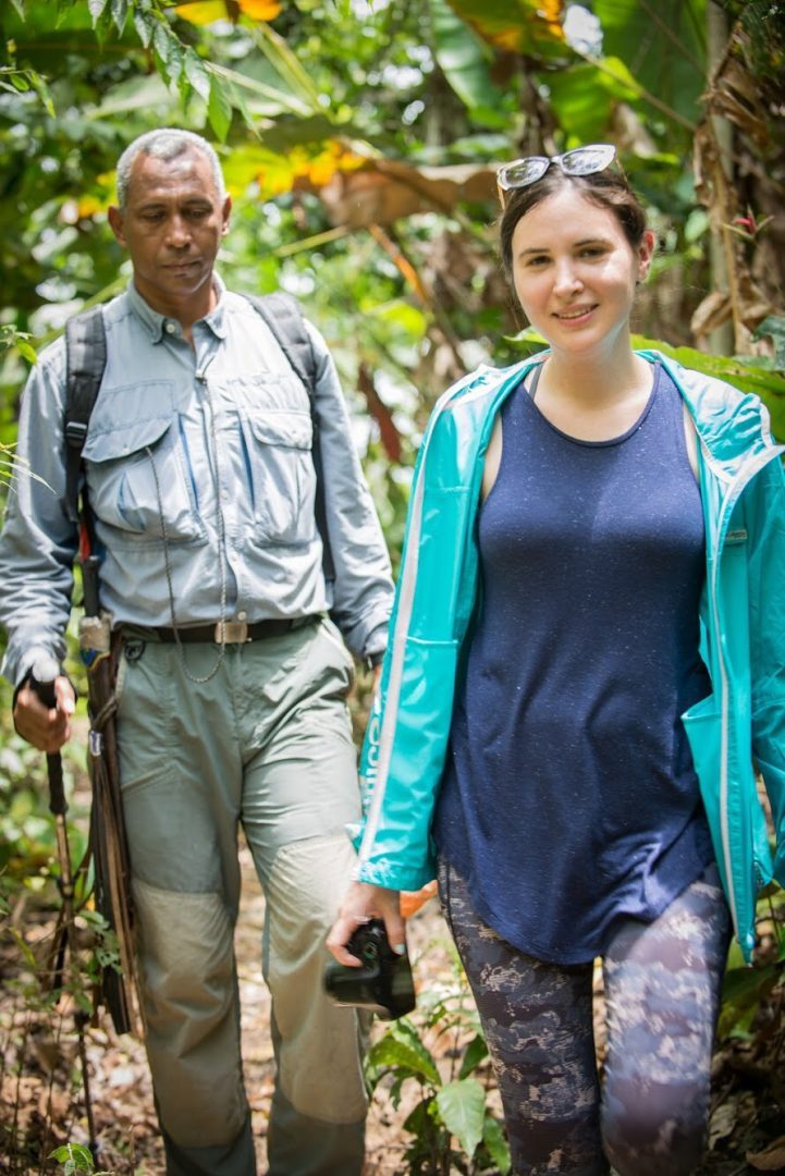
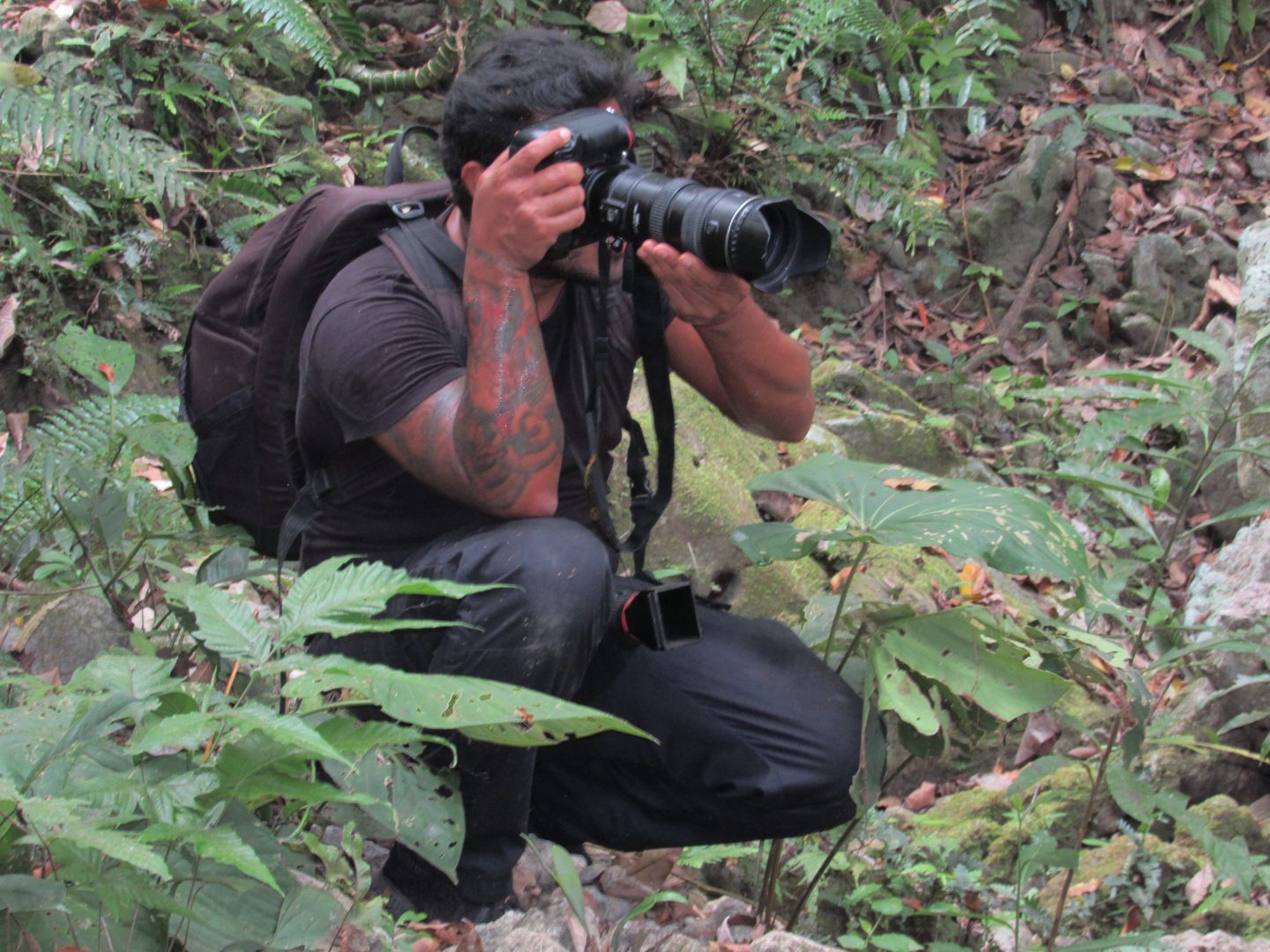
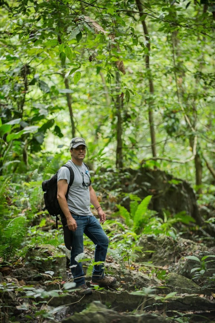
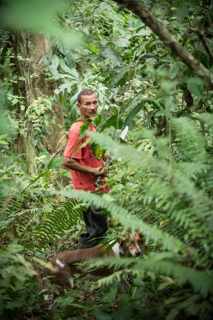
Segundo is a biologist and started his career in ANCON. Since 1997, he has attended foreign people who came to see the conservation works. Then he started working in a tour operator called Ancon Expeditions, until he became independent. His specialty is to do tours deep in Darien using a compass and visiting places where people don’t go. He does 11 day excursions through the jungle together with Rick Morales who owns Jungle Trek. The most virgin places are the Darien National Park with 572 thousand hectares, the Tacarcuna mountain range and the Bagre Biological Corridor.
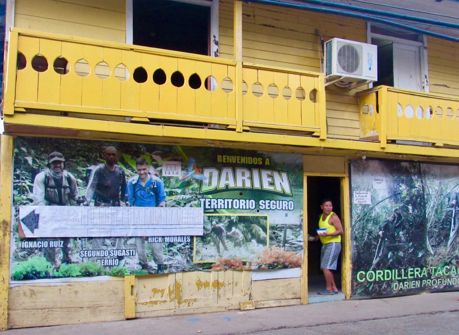
He tells me about a plan USAID made in the seventies with a map of the Darien for the vocation of each area: reforestation, livestock, care of basins with forests of galleries, primary forests, villages and others. He says that his province lacks the order to preserve it.
Segundo tells me “I want to die without seeing the Darien gap opened. It would be our total ruin and the benefit would be for many people but not for us, the Darienites and I am willing to debate, because we do not have that culture of preservation”. Sadly he is absolutely right.

My first visit to Darien
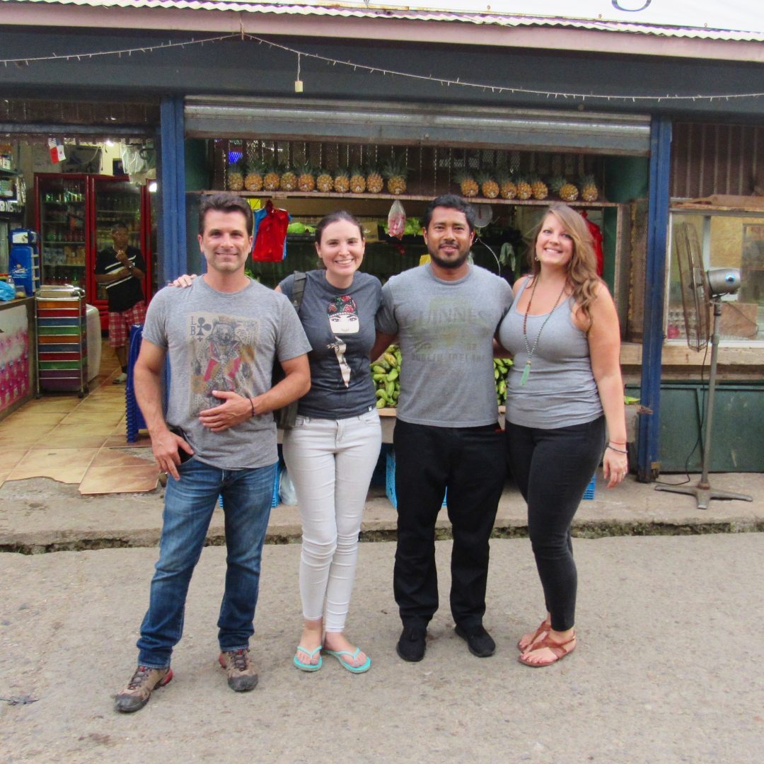
I coordinated by phone with Segundo my visit to the La Palma and convinced my boyfriend and another couple to join in the adventure. To get to La Palma you must take the Corredor Sur highway until the end where you will see signs that say Darien. The road is quite picturesque because after Chepo you pass by the Bayano Lake which is a good point to stop. Part of the road is fixed, while in others craters abound, however it is possible to go without having a 4×4 vehicle.
In my head I had an idea that Darien was going to be virgin with a dense jungle; I was very wrong. Darien has been deforested for decades. On the highway you will see many trucks and beds with a single tree split into three, which obviously is not the product of any reforestation plan. Much of the logging in Darien is illegal but the authorities along the way allow its passage and only focus on drug trafficking. It is imperative that you carry your ID or passport, as there are frequent police checkpoints. They do not have good manners and definitely do not understand that there are people interested in visiting Darien. It is common that they want to check your car without a search order (which is illegal) but tell them no means they stop you for longer.
The three Darien
The journey takes about four hours to reach Puerto Quimba. You must park your car and take a ‘panga’ boat down the Tuira river. For me, the great rivers of Darien: Tuira and Chucunaque were names learned in elementary school, so it was exciting to be able to navigate one. They say there are three Darien: that of roads, rivers and jungle. Our ride (which cost $4 per person) was very picturesque, going through mangroves until we reached the town of La Palma. An hour and a half later you will find the town of Garachine and going up the river you reach Sambu.
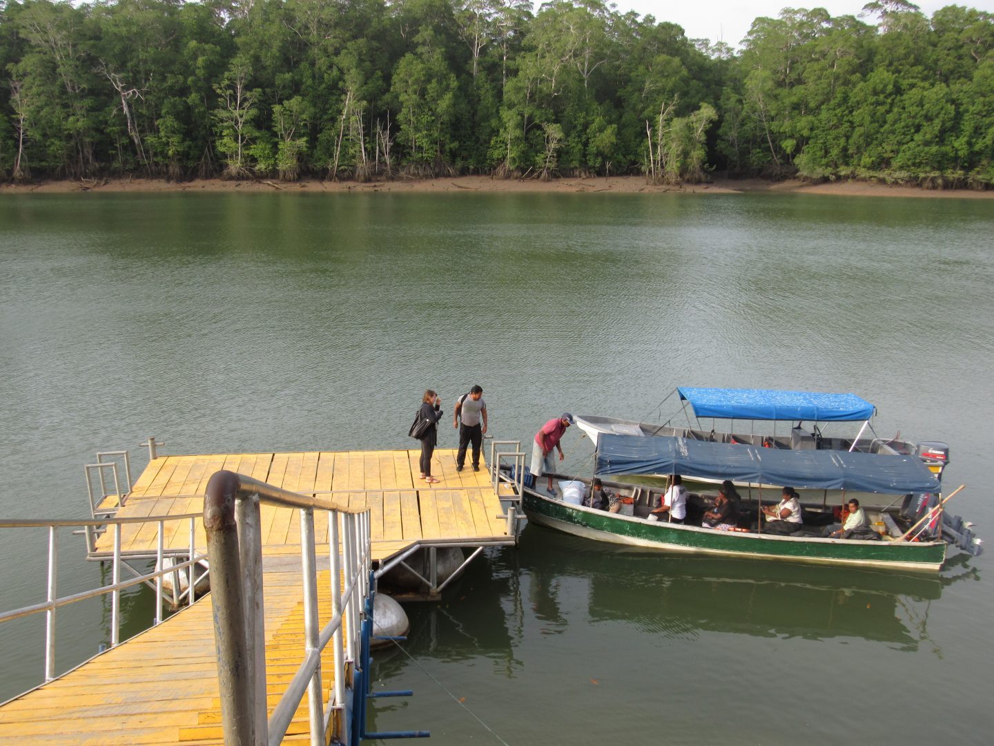
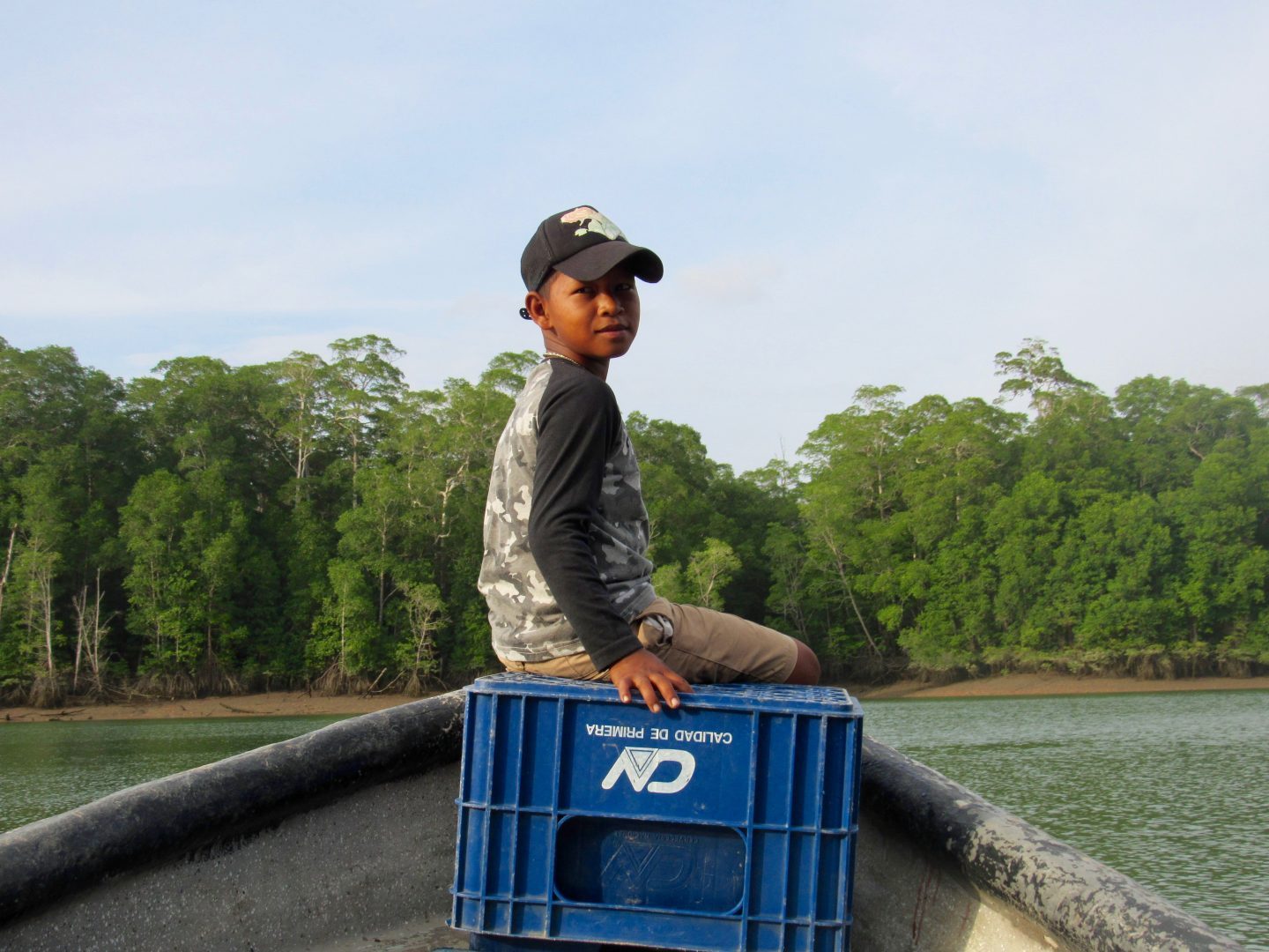
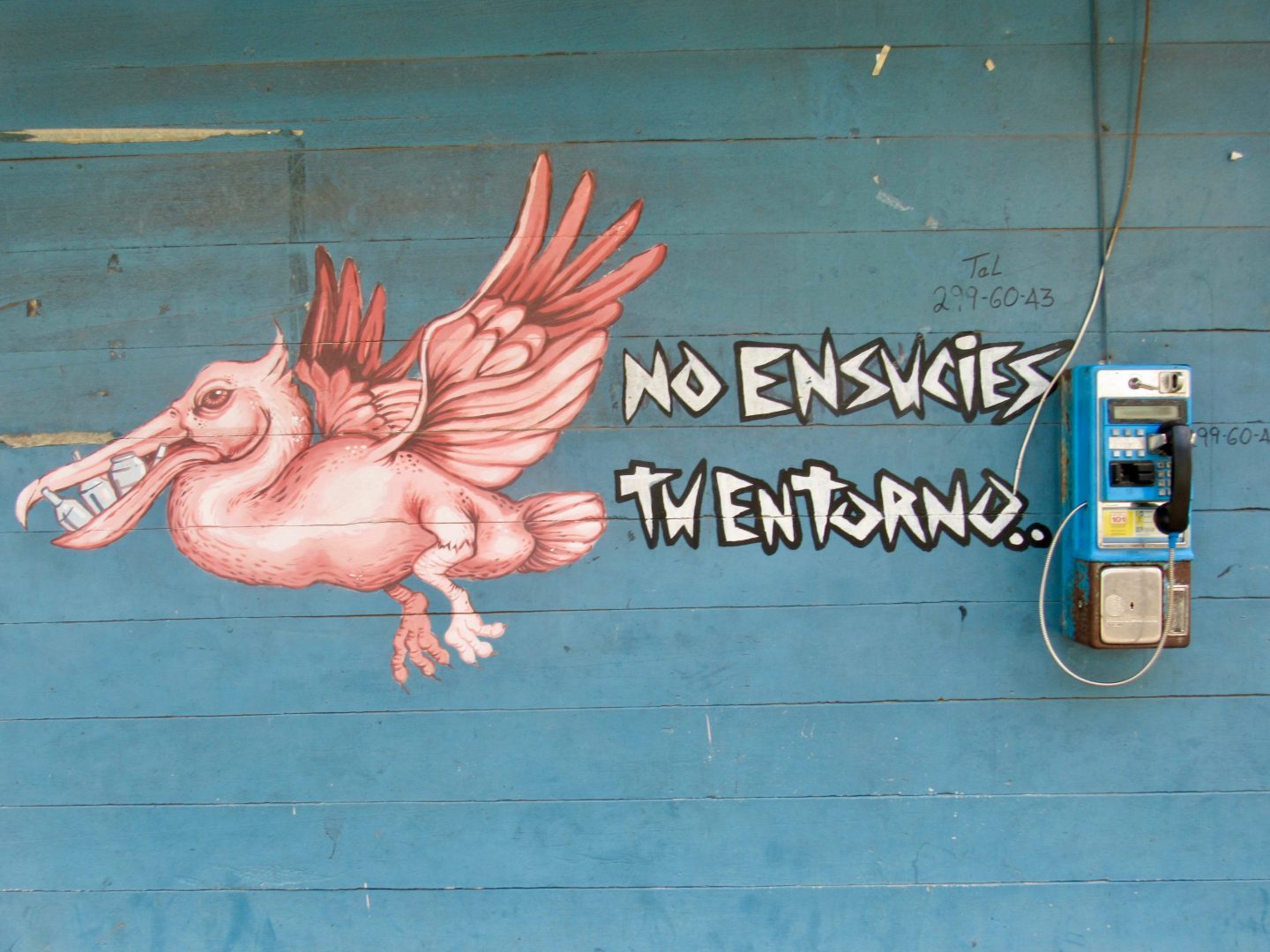
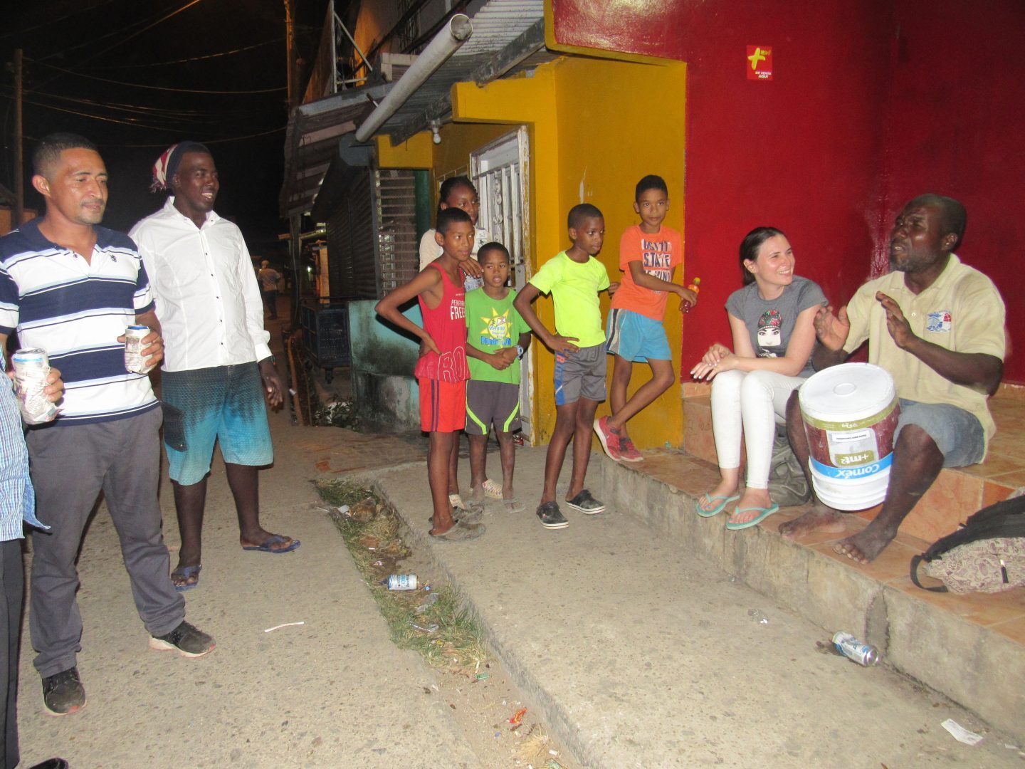
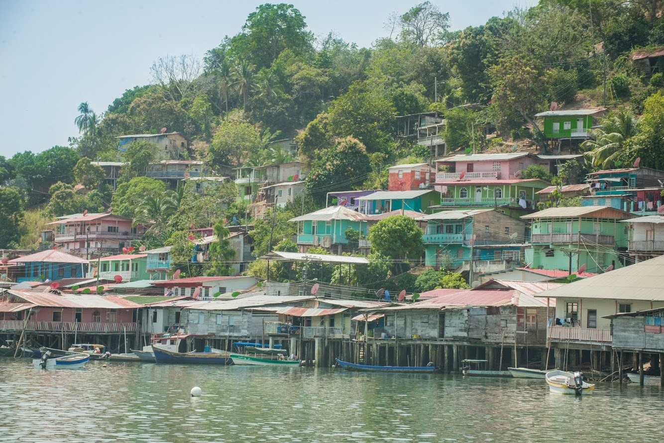
Arriving in La Palma, a lady on the boat tells me that it is the ugliest town in Darien, but the colorful houses on the Pacific Ocean over the Gulf of San Miguel seem picturesque to me. When we get off the boat if I notice how dirty the town is, but soon I forget because of the kindness of the people. As they are not used to receiving many tourists, they saw us out of place and went out of their way to greet us.

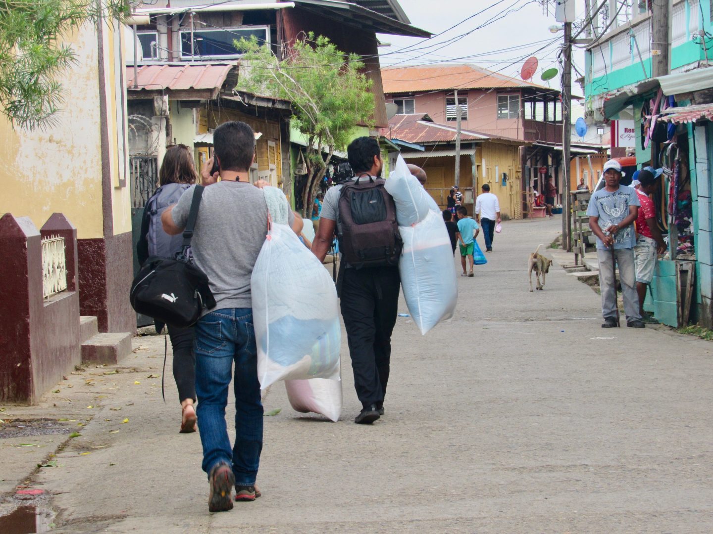
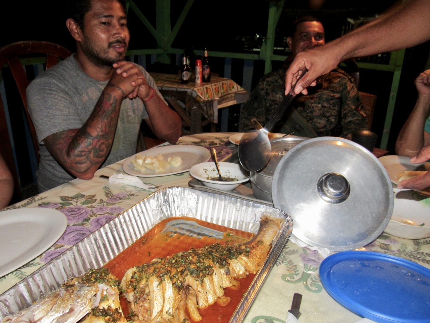
We were supposed to stay at the best hotel in La Palma that belongs to a teacher and we made our reservation 3 weeks in advance. But it seems that the lady got confused and rented the whole hotel to a family that has land in the area who were frequent customers. We ended up staying at Pension Tuira, a small hotel on the sea, decorated with mosaic cuts of all colors. The owner was very friendly and offered very basic services. The only bad thing was that the music of the canteen was heard late into the night, since every day there is a party in the town.
La Palma is the capital of Darien
La Palma is next to the Tuira river, which is the longest in the republic. On December 27, 1922 the province of Darien was created and La Palma was named as its capital. Approximately 3,500 people live there, which goes up to 4,000 during the school period because of students and teachers. As it houses all the government institutions, many people go to do paperwork in the morning and in the afternoons they return. People come from Mogue, Congo and Balsa rivers, which flow into the Tuira River. The captains use the headlights to travel through the haze, but night navigation it is quite restricted for safety reasons.


The highway was opened in 1973, but La Palma dates back to 1816. It served to raise and lower boats full of banana, wood, food, among other things, going to Yaviza. With the opening of the road, the deforestation began. In the days before there were more than 20 airports operating in the province. There were even airlines in the Darien.
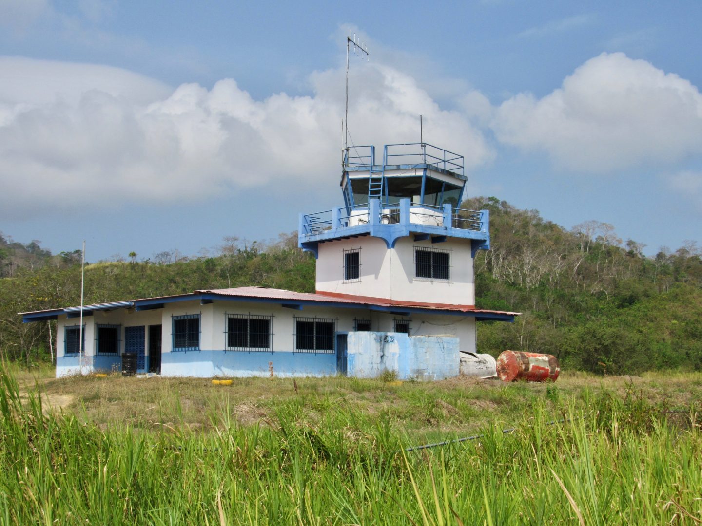
La Palma has basic infrastructure but does not have an electricity line yet, so it is produced using generators. There is cell phone service in most of the area. Water is problematic, which is absurd for a province where it rains so much, but they distribute it by the hour and most of the day there is none, so we had to ask our hotel to open the reserve tanks to be able to bathe.
What to do in La Palma?

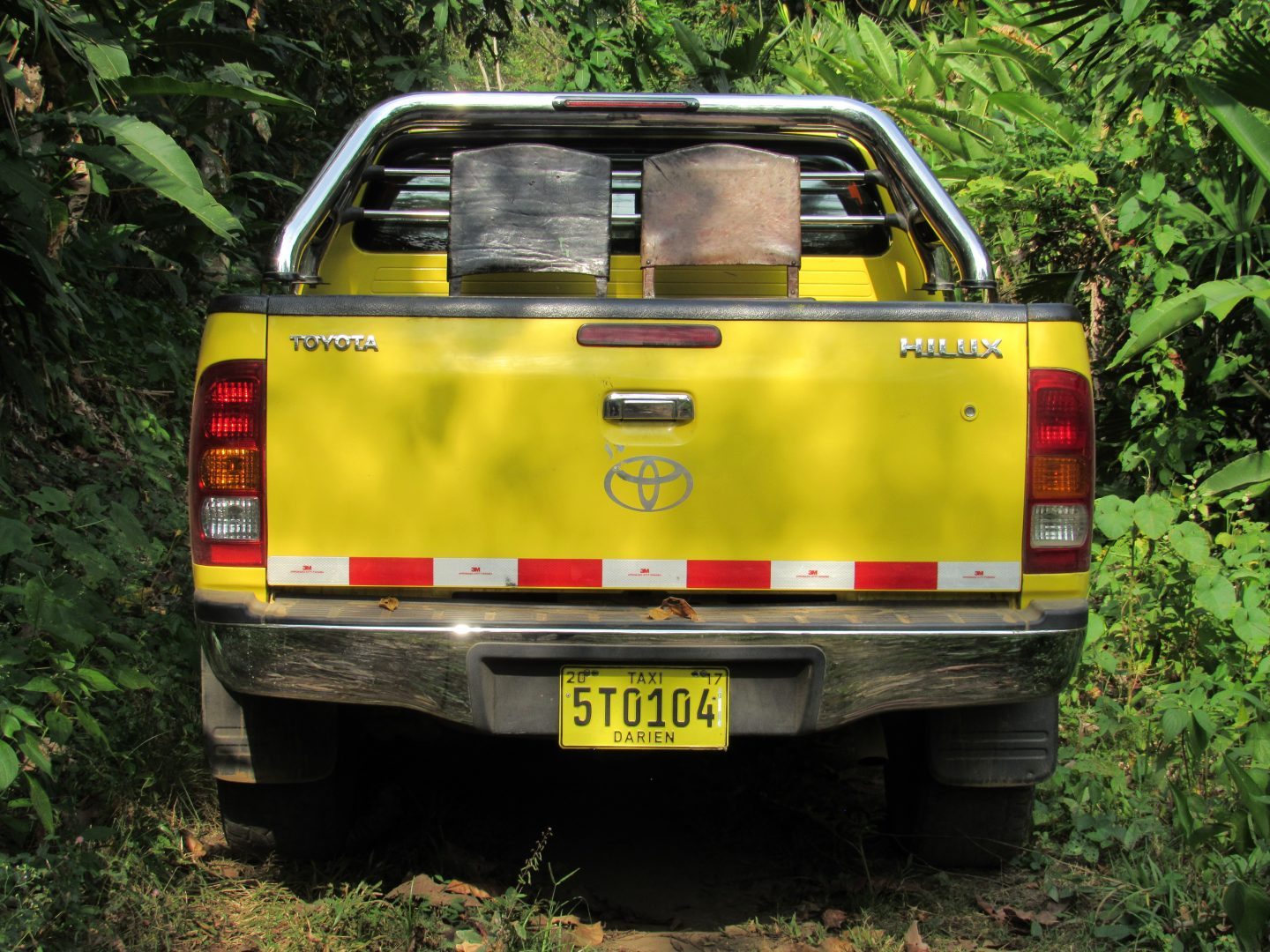
The nephew, who has a taxi pick-up, would be our driver for the day. We did not fit in all the seats, so we placed chairs in the back.
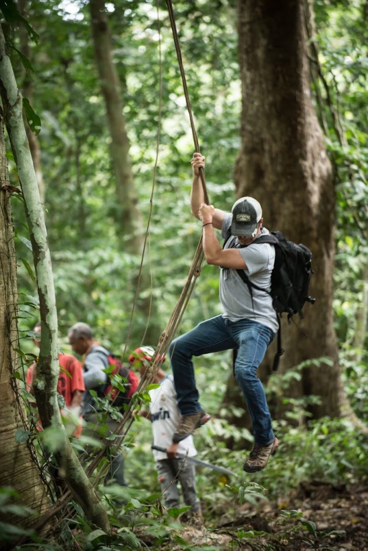
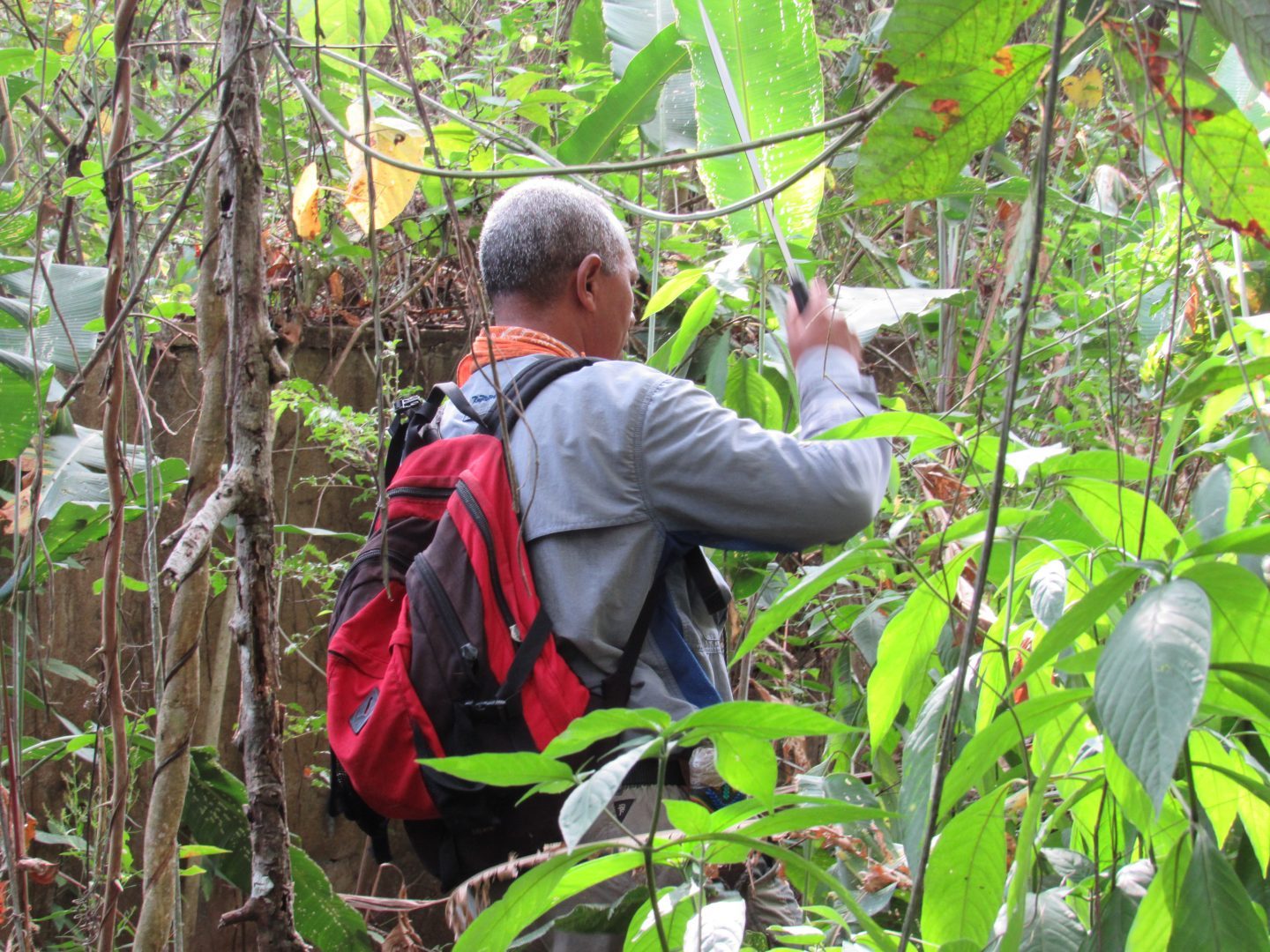
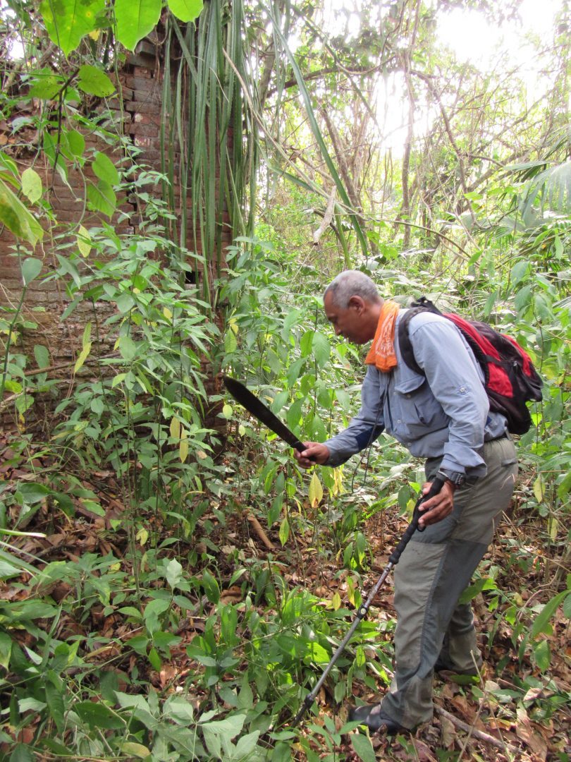
Our first stop was at the first sugar mill of the country which is located in Mogocenega. It has been eaten by the jungle, so we had to use machetes to go.

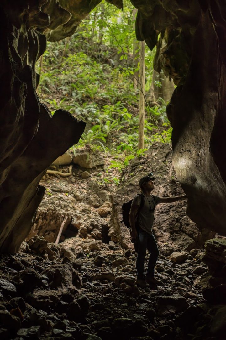
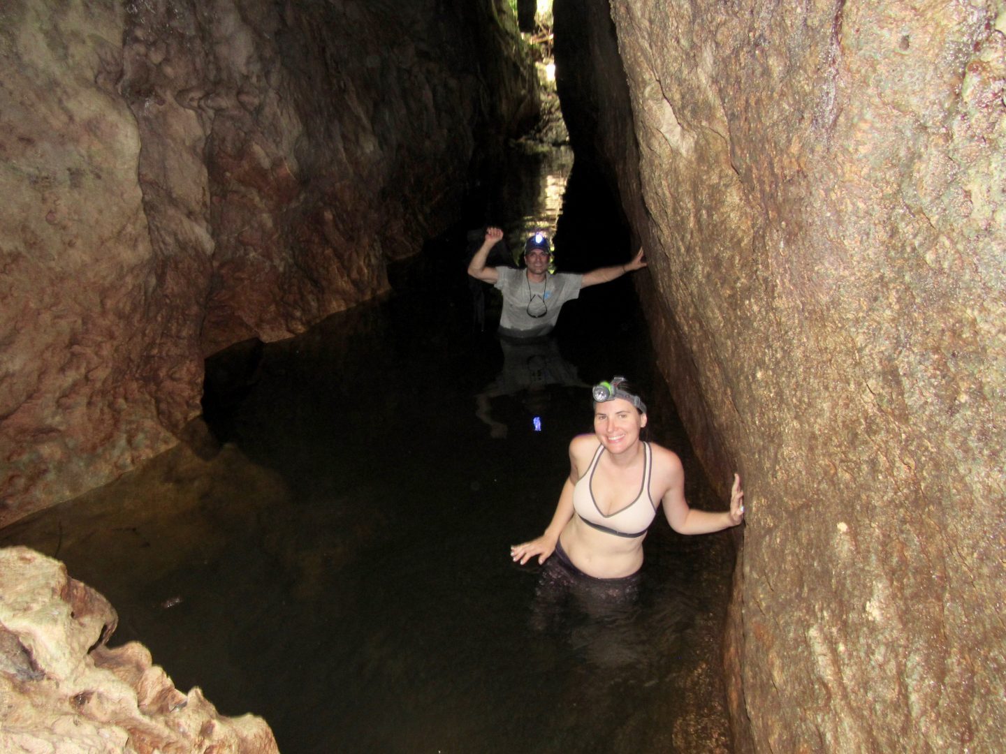
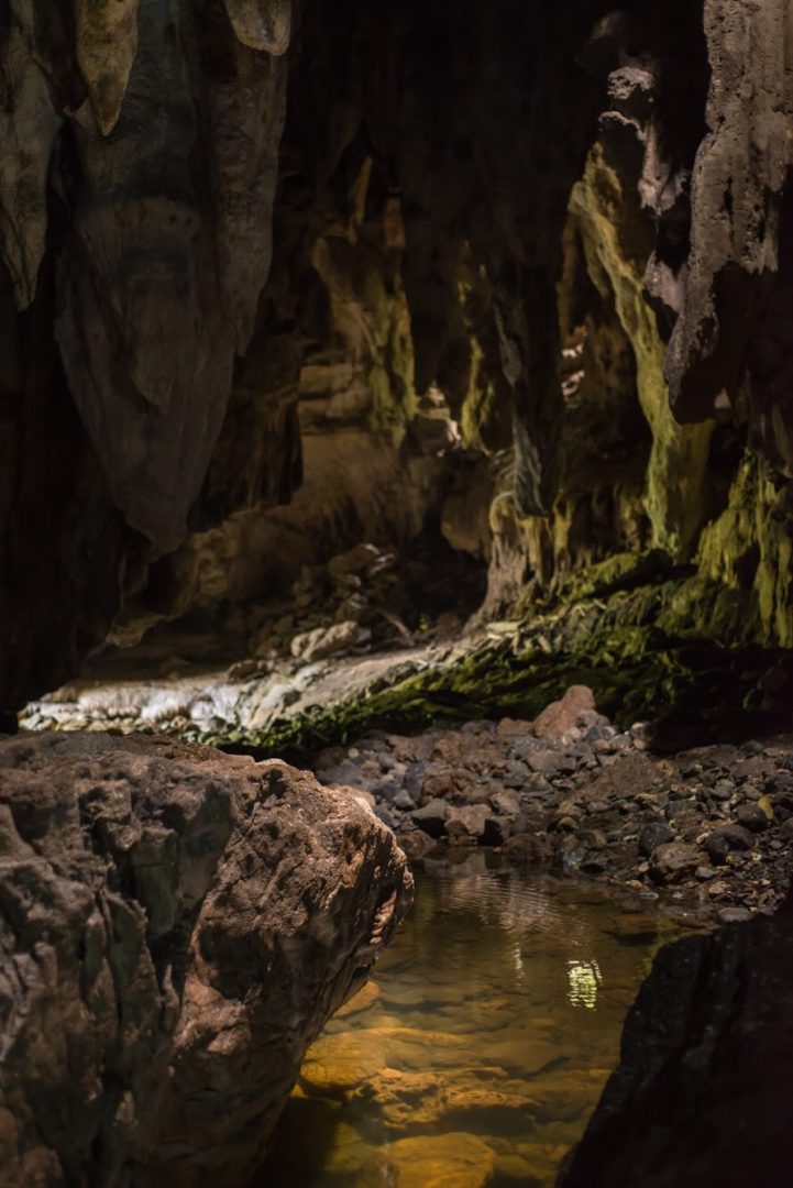
Then we continue to the Colorado River Tunnel. Mr. Maneno arrived in the area at the end of the seventies. There was a lot of hunting in the area and they came across the tunnel. They have not taken tourists yet, only people from the area. You must walk through a paddock for 15 minutes to reach the entrance of a large cave. We found the skin of an X snake on the floor before entering.
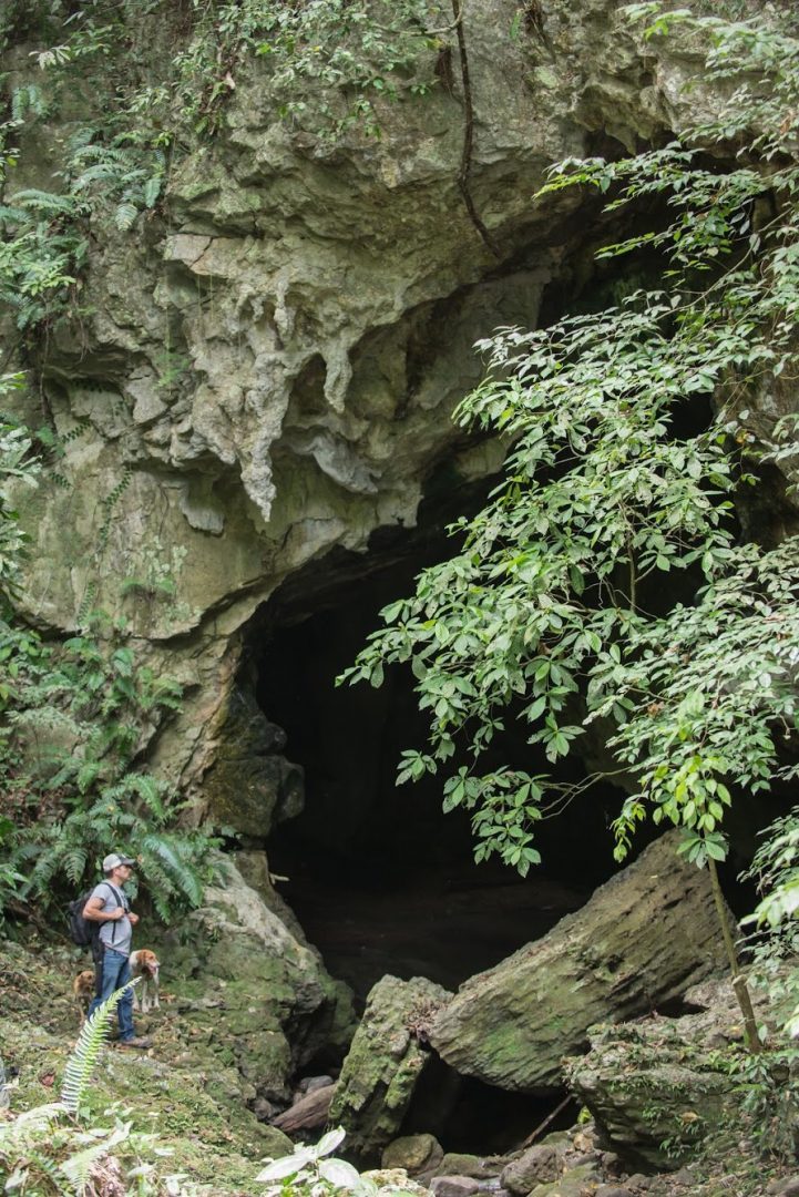
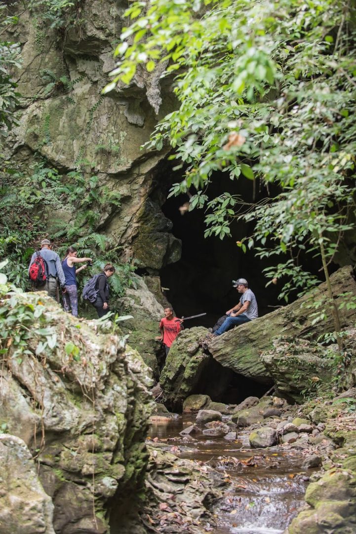
It is necessary to carry flashlights because it is dark. If you look up you will see groups of bats hanging on the roof.
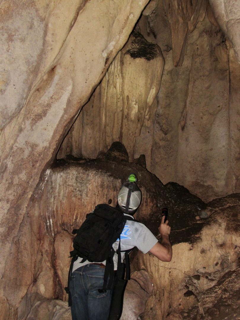
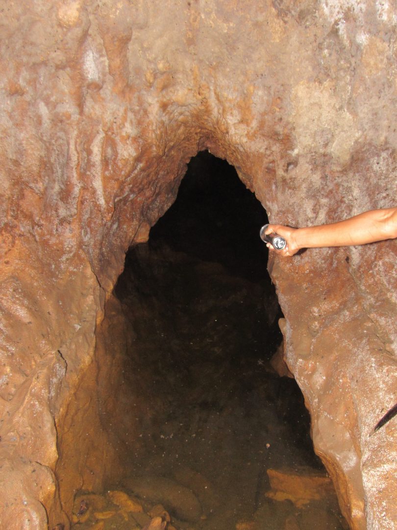
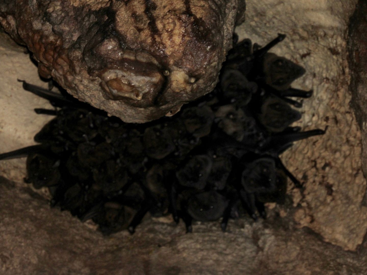
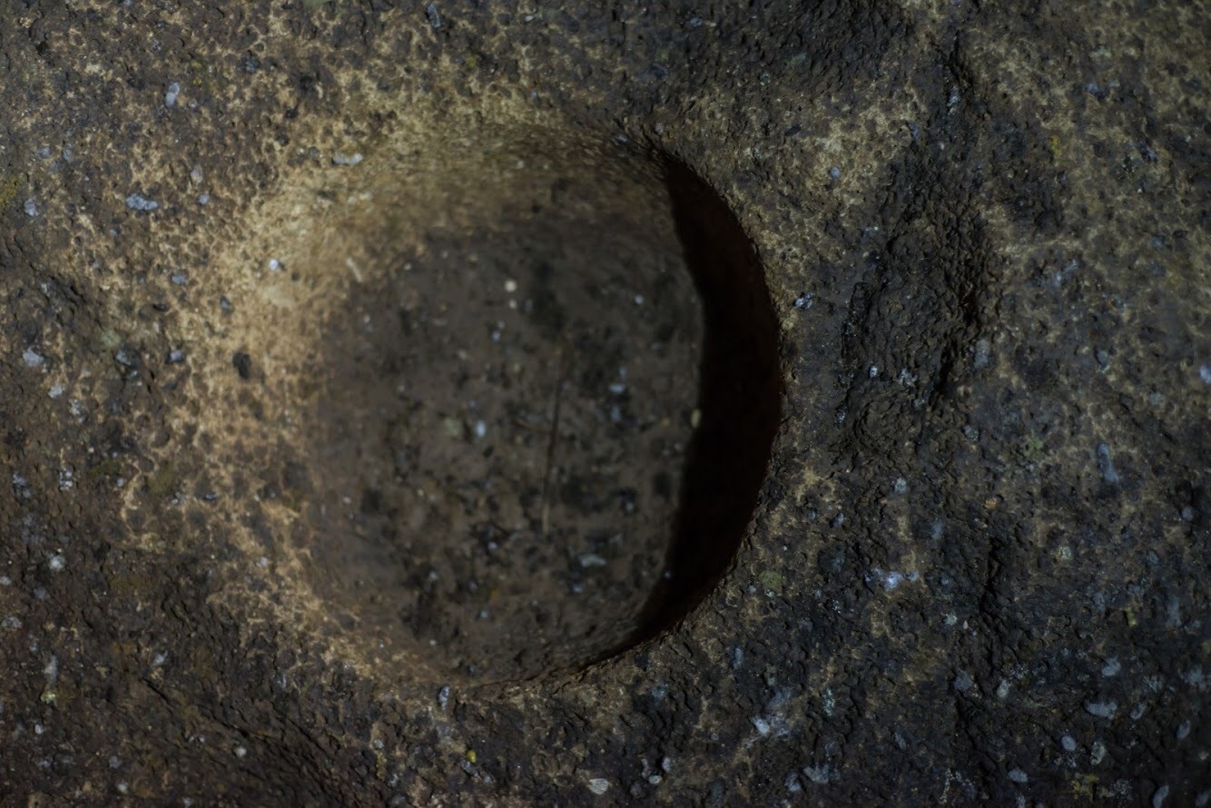
On the floor we found holes carved in the stones, which were used to make rituals. It is a memory of the indigenous Choco who lived in the area before the arrival of the Spaniards.
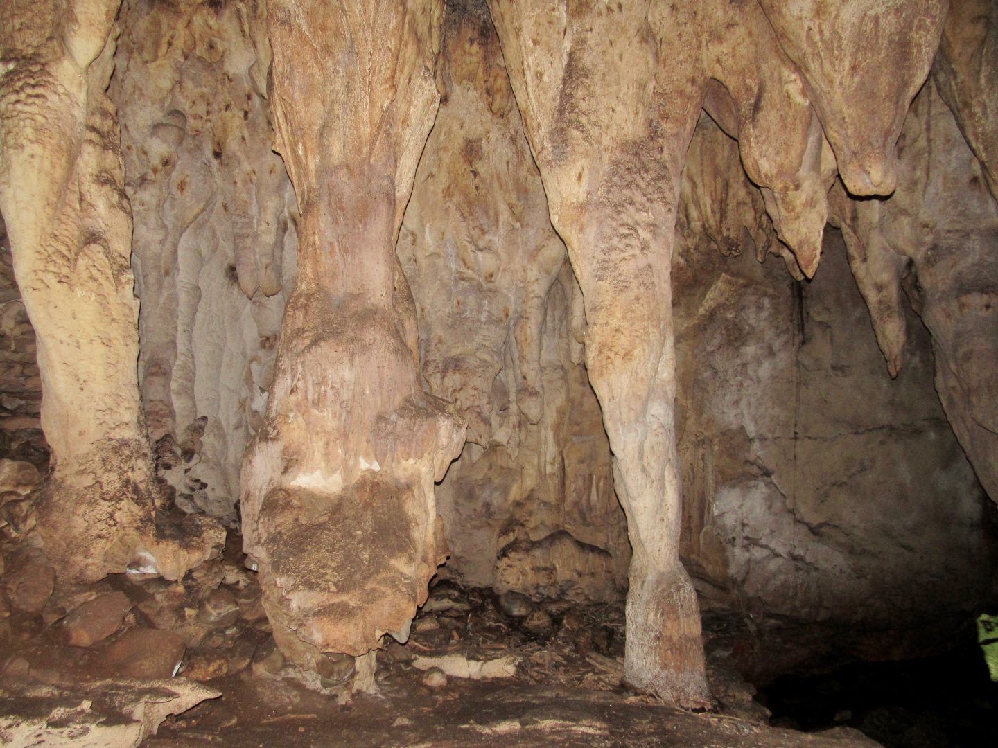
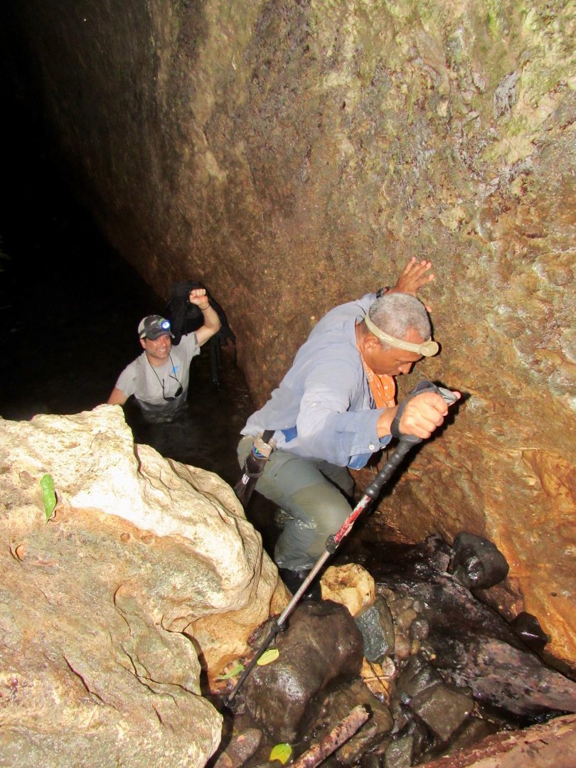
We only went through the passable part, but there is another part of the cave that they still have not reached the exit. To leave we had the option of returning or going through a small river, which was more adventurous and then climb up a wall using the roots of the trees.

Fortins of the conquistadors
The next day we went on a boat to visit the forts built by the Spaniards that date back to 1680 according to a register of scholars on the subject.

They were built at the mouths of the most important rivers to protect themselves from pirates who at that time came for the gold that flowed down these rivers through the mines of Cana and the settlements of the indigenous people.

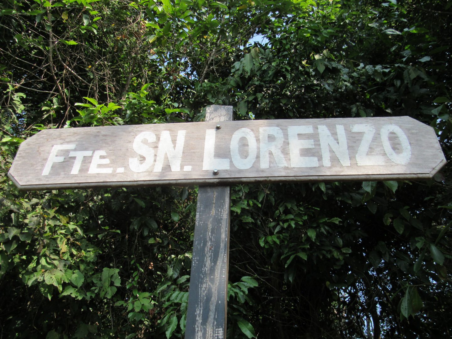
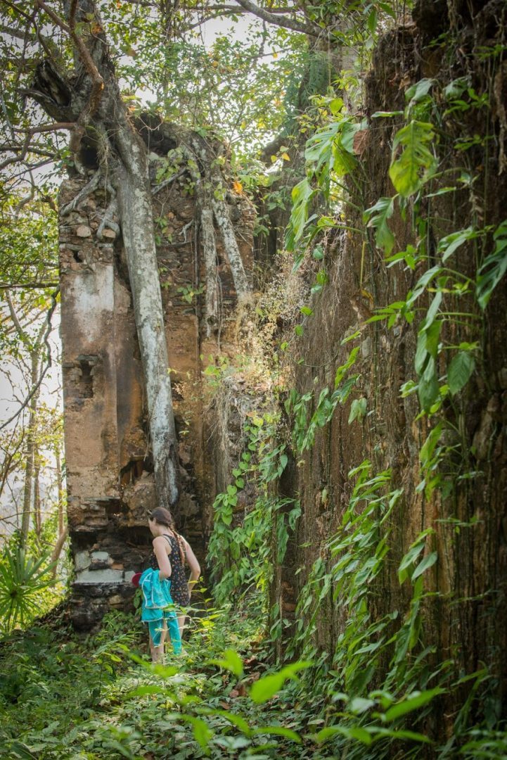
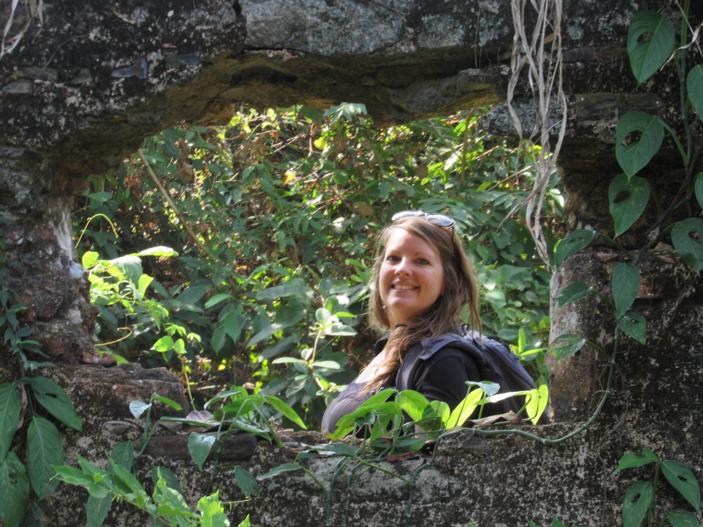
In some forts there were up to 40 people. We visit the fort San Lorenzo, also called Fort of San Carlos de Boca Grande and Boca Chica. The Tuira River has a delta with 8 islands at its mouth that were the places where the forts were built.
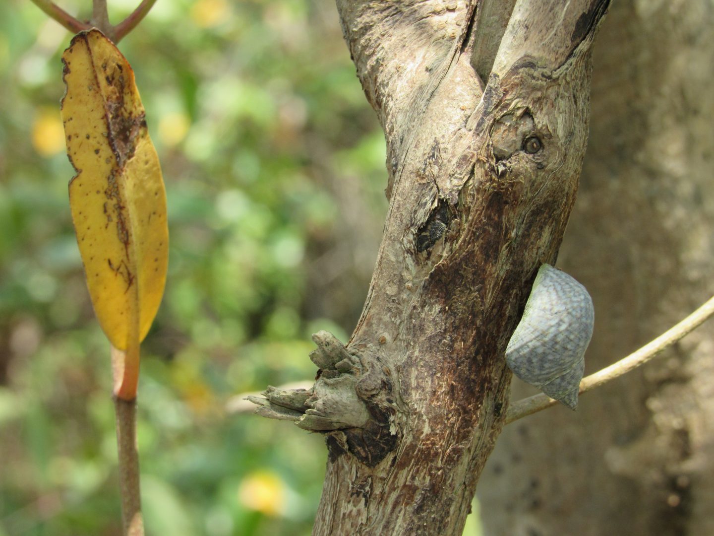
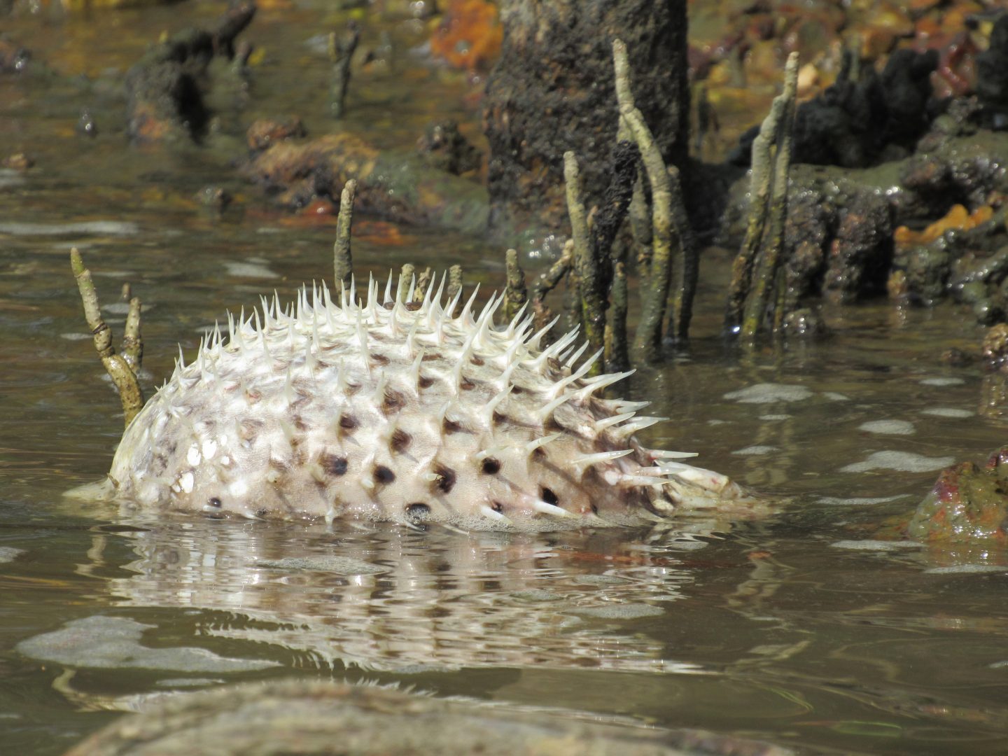

They also took us to the area where supposedly Vasco Nuñez de Balboa discovered the southern sea on September 25, 1513.
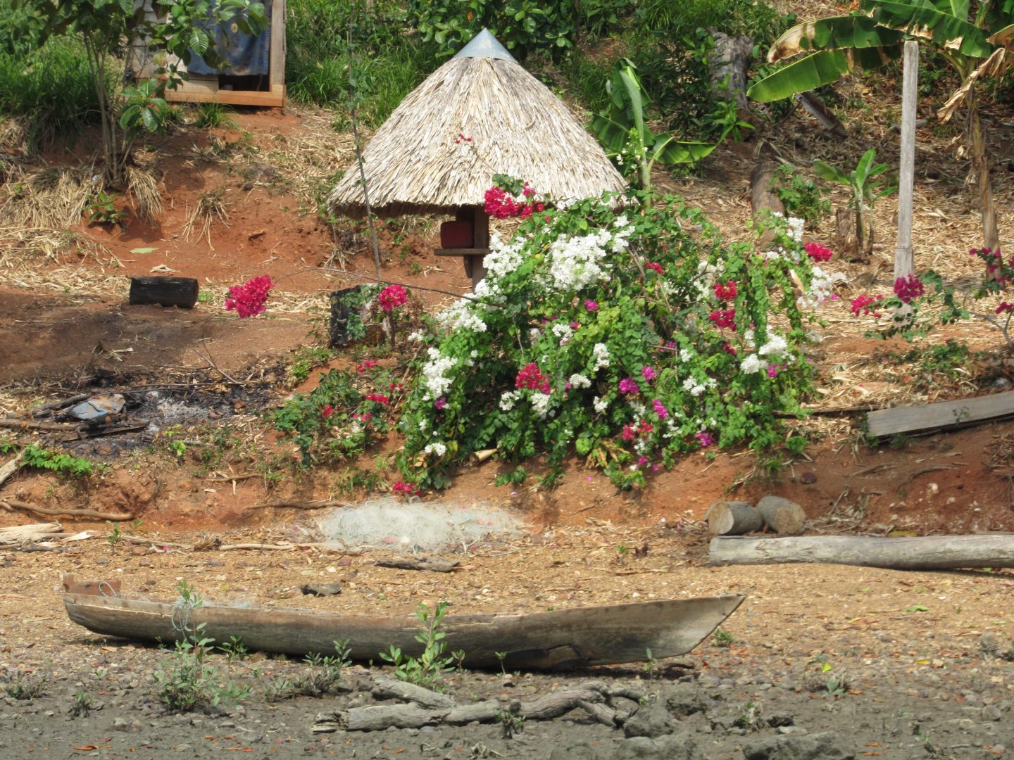
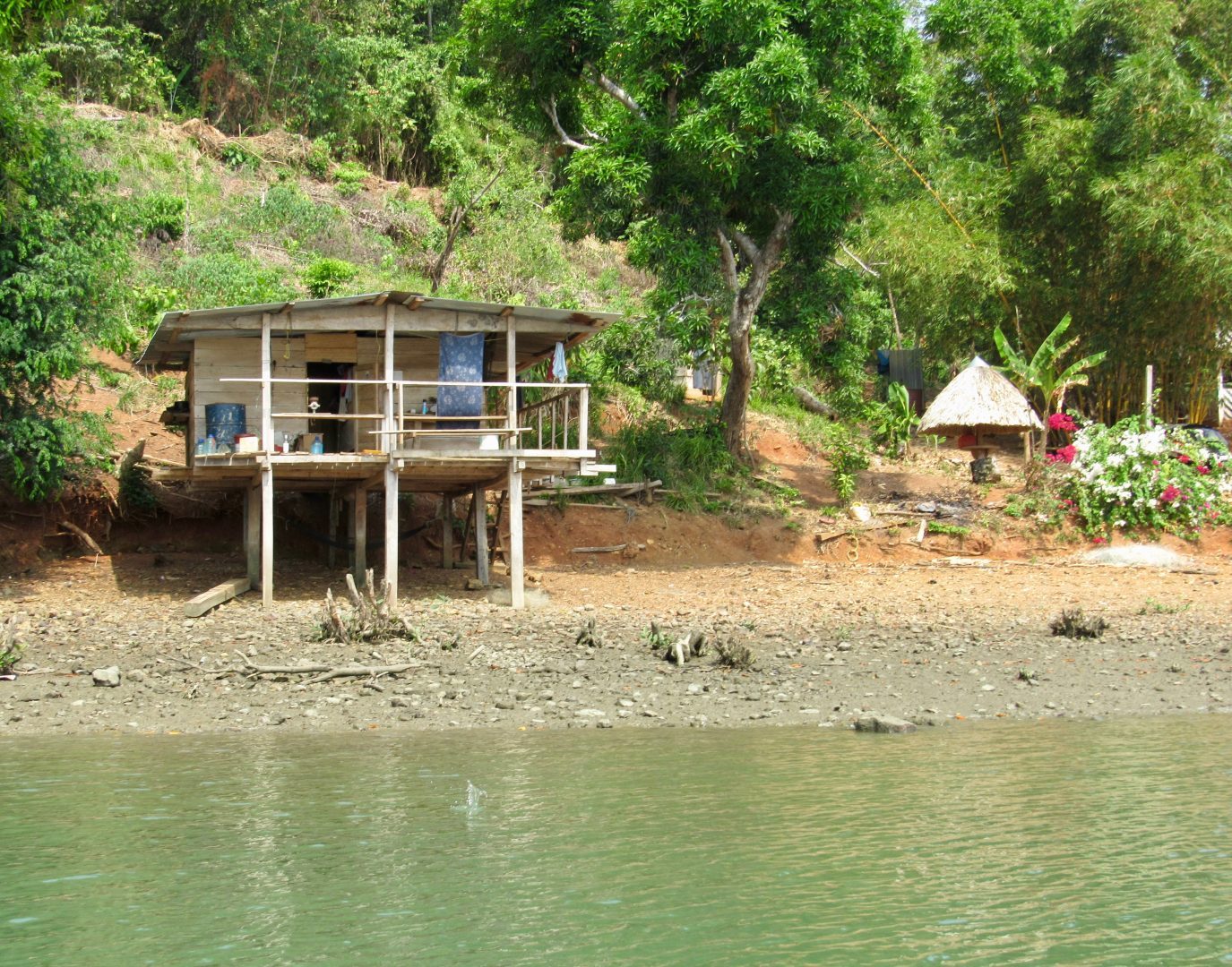
It is also possible to visit some beaches in the area and communities of the Embera that have a choice of accommodation. They do medicinal rituals for those interested.
More photos:


